| About | Home | Recent Activities |
|
The Strollers
|
||
|
Narrowboating |
River Cruises |
Travel |
| Cornwall | Morganeering | Copyright |
31st August 2022
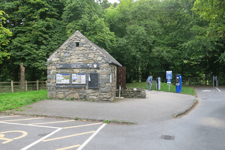
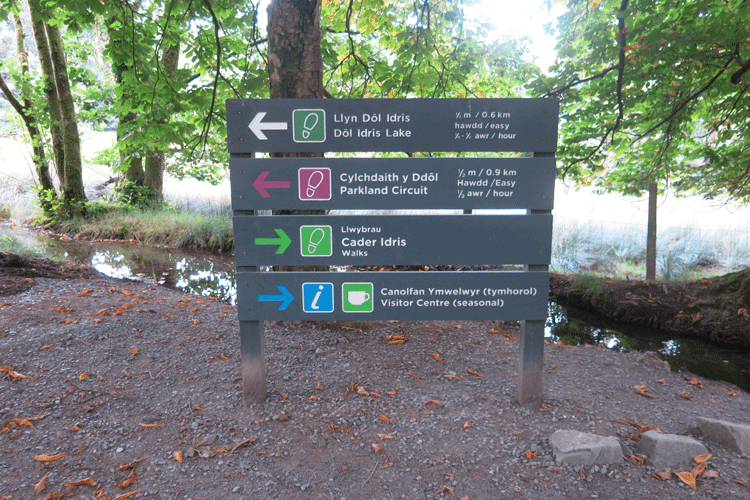
Dôl Idris Car Park. One machine for cash and one for card, although the former was out of order.
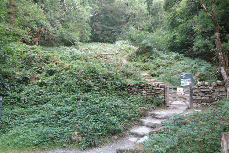
Walk sign posted through the gate to the right
The Coffee Shop
Start of the steps up to Llyn Cau
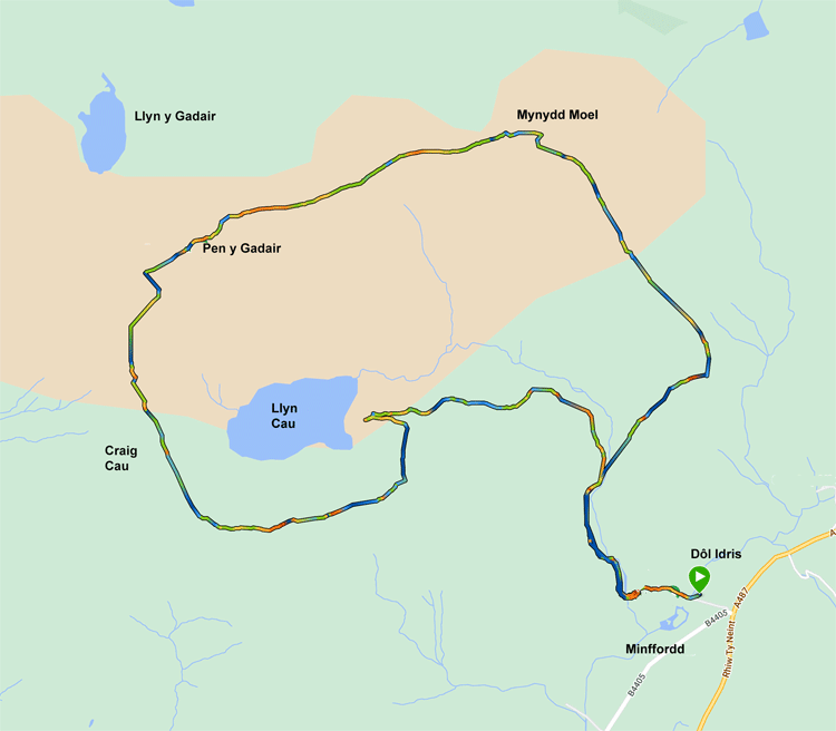
Split in the path..... left to Llyn Cau.... right to Mynydd Moel
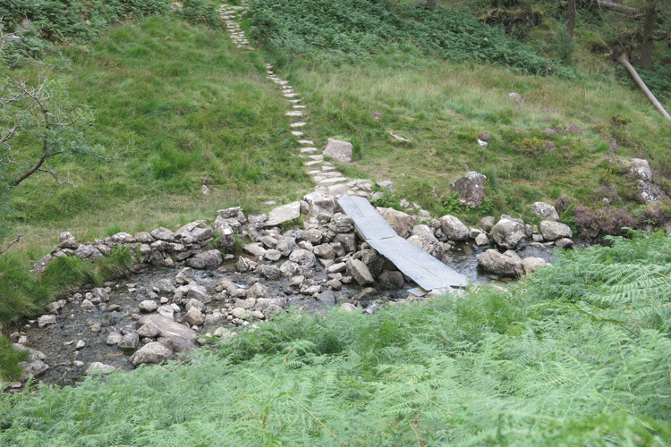
Looking down to the right.... the path back from Mynydd Moel comes over this bridge.
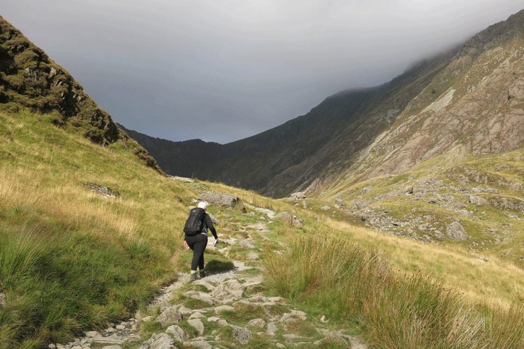
A lone walker up ahead.... this was a lady from Pembroke who I got talking to later.
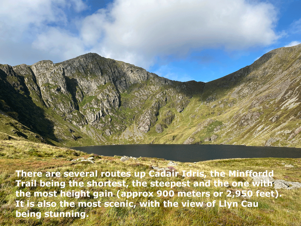
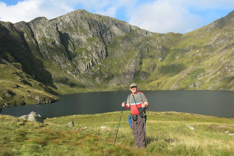
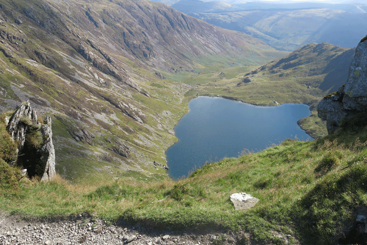
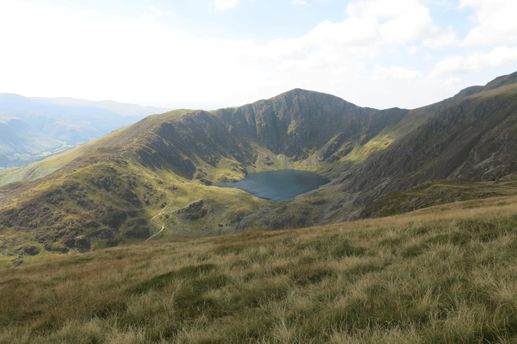
Llyn Cau. The peak ahead is not Cadair idris, but is a false peak
Starting the climb away from Llyn Cau to reach the ridge
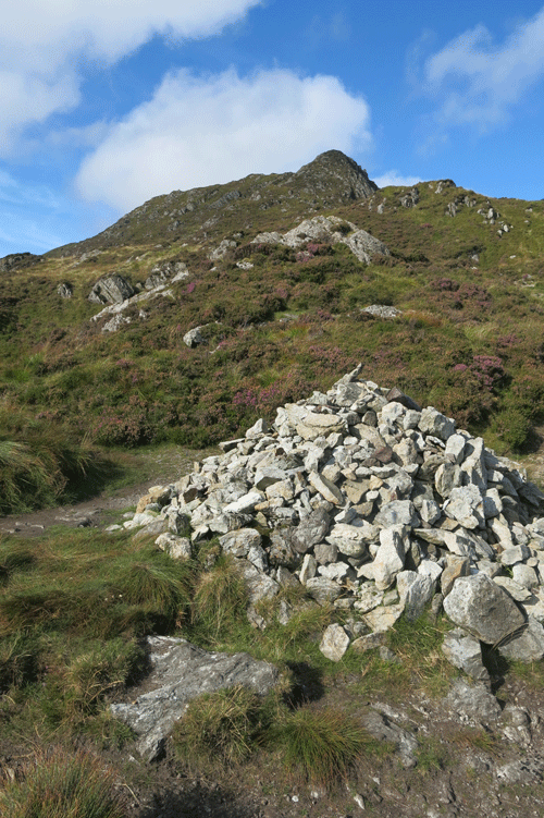
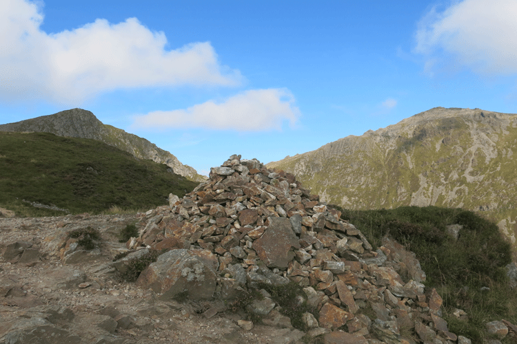
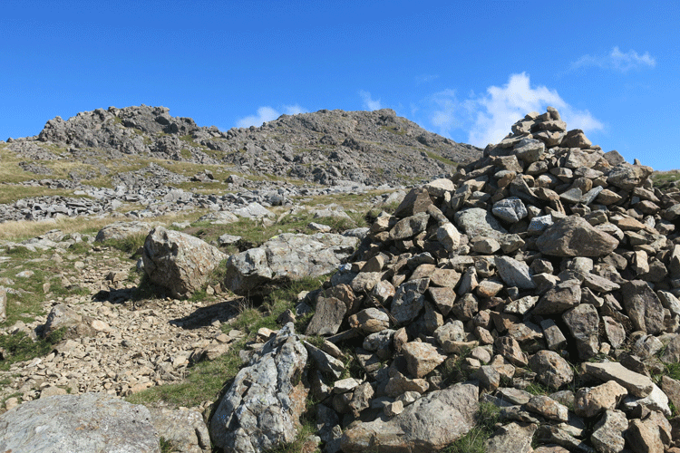
Cairn on the ridge
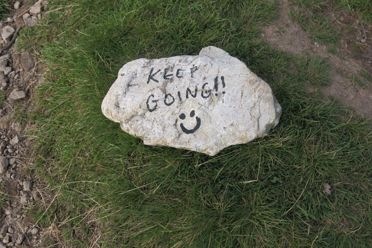
I like it! This cheered me up.
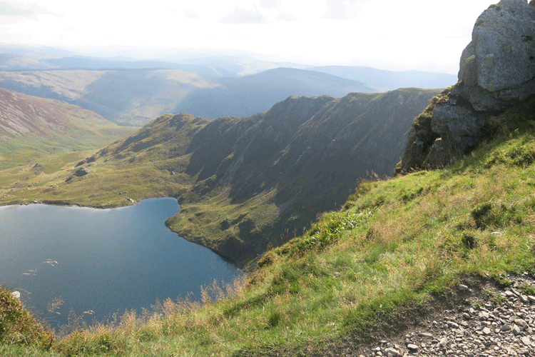
View down to Llyn Cau as I moved around the ridge.
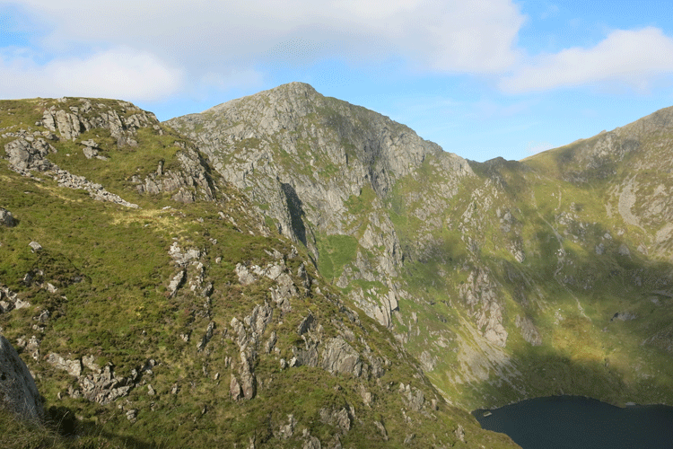
Cadair Idris or Pen y Gadair
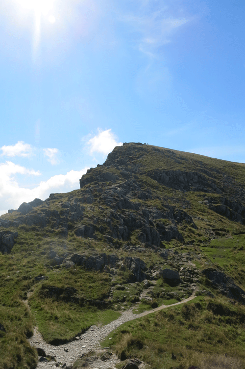
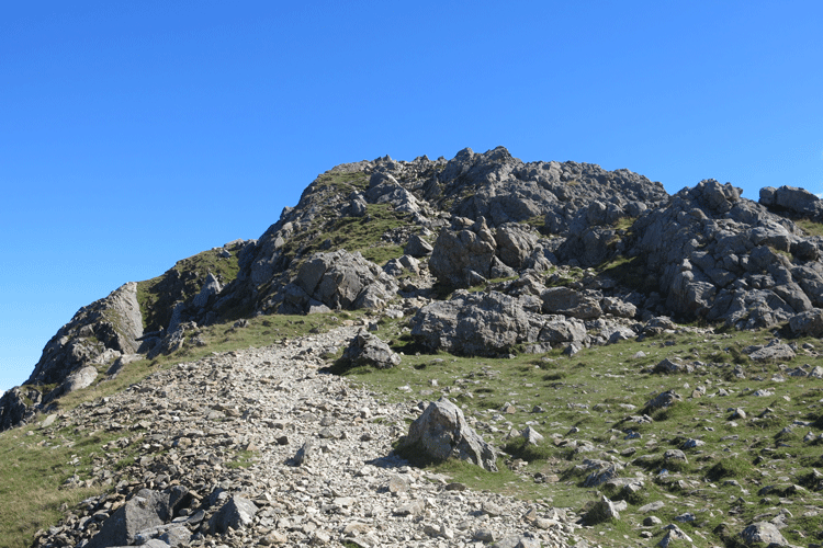
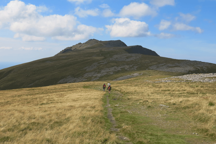
Climbing the false peak along the ridge line
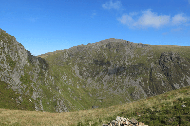
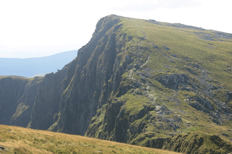
Looking across to Pen y Gadair or Cadair Idris peak
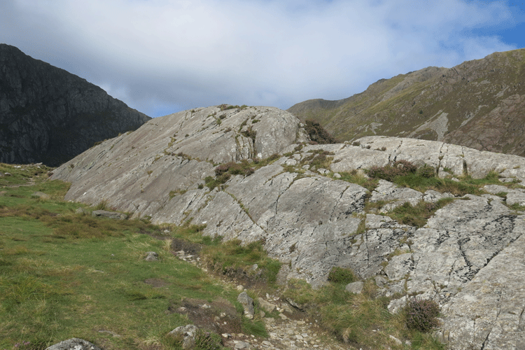
Crossing the fence line at the summit of the false peak
The path drops down before the final push to Cadair Idris
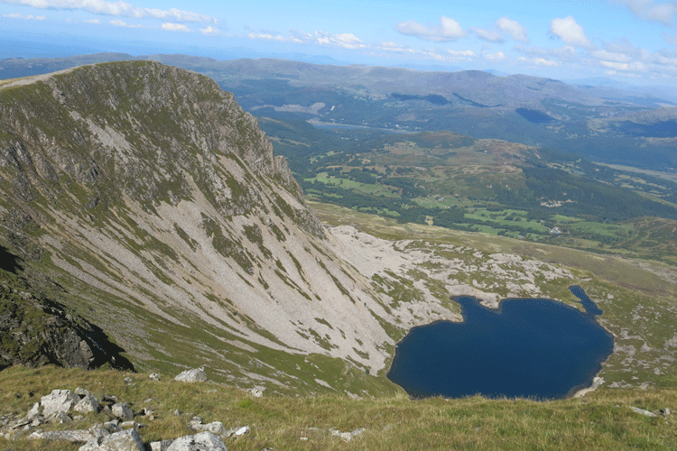
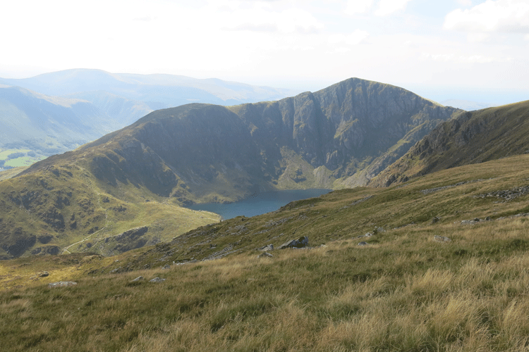
Looking down on Llyn Cau
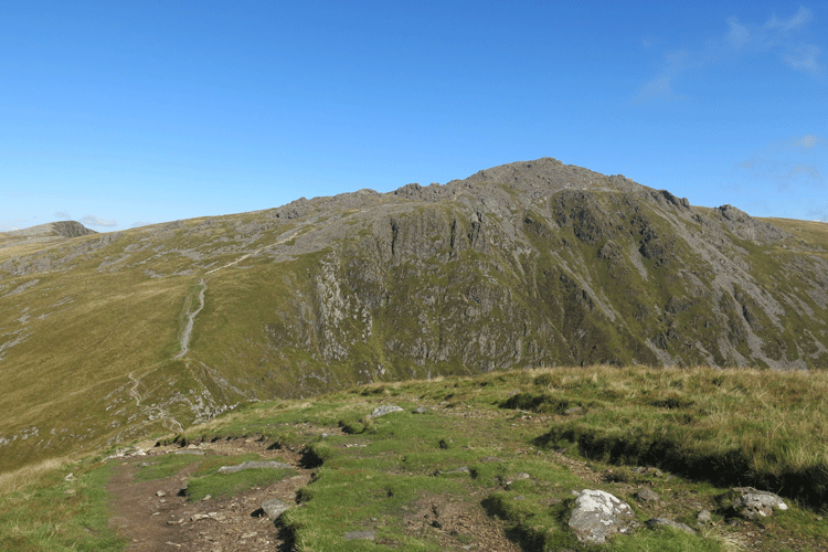
Looking back at the ridge I have just climbed
Looking back to the false peak
False peak
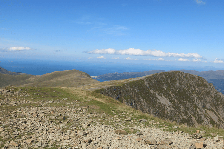
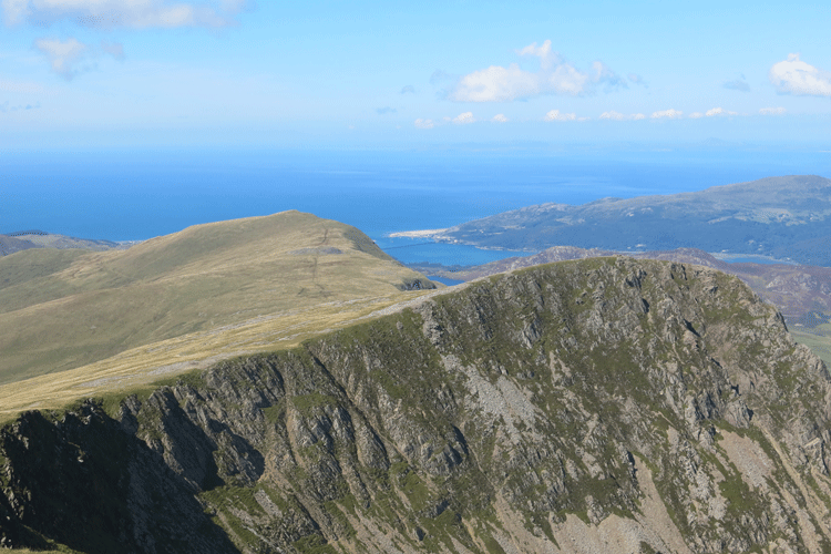
Looking west. You can just make out Barmouth
Llyn y Gadair
A short scramble up the gully to the top
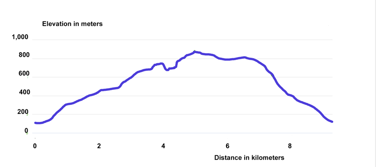
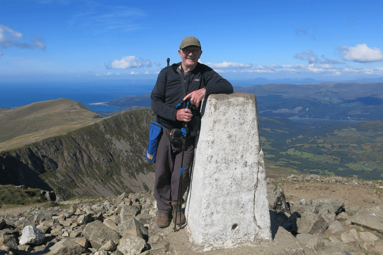
(11:52 hrs - 3H34)
View towards Barmouth on the coast
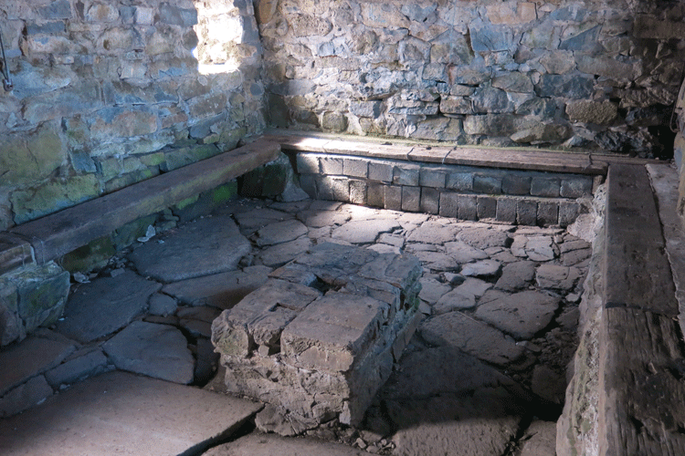
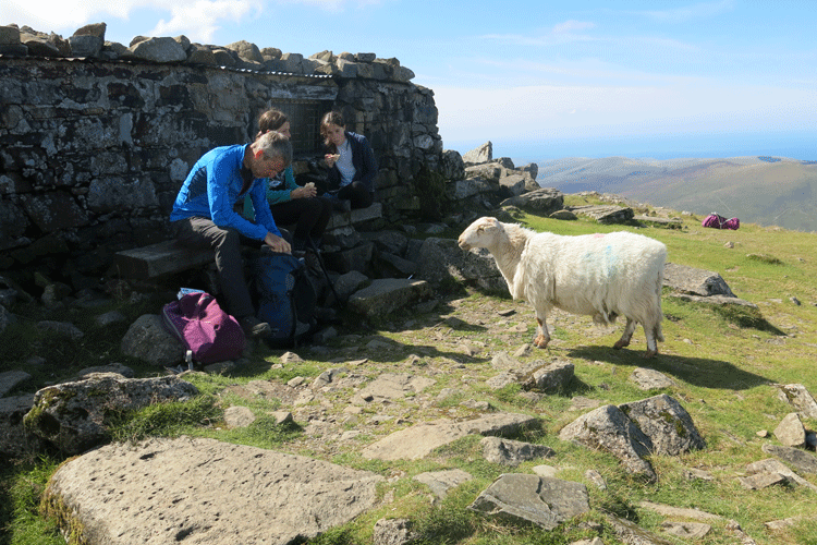
The shelter adjacent to the trig point
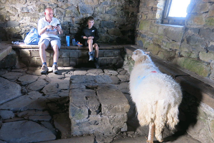
Cyril the sheep begging for food!
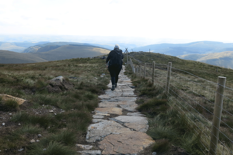
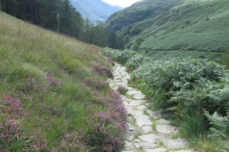
The path to Mynydd Moel, the route down, after leaving the trig point
Looking back to the trig point as I descend
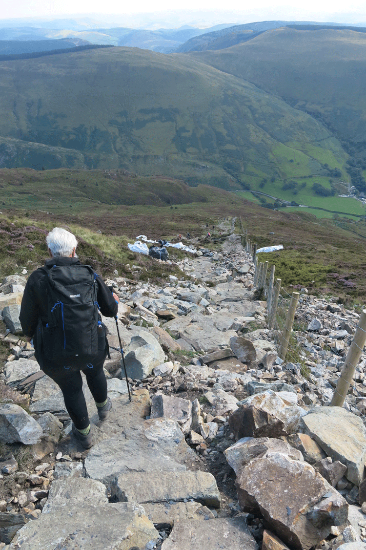
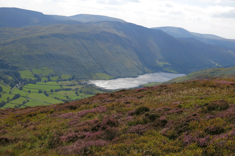
Looking down to the Tal-y-llyn Lake
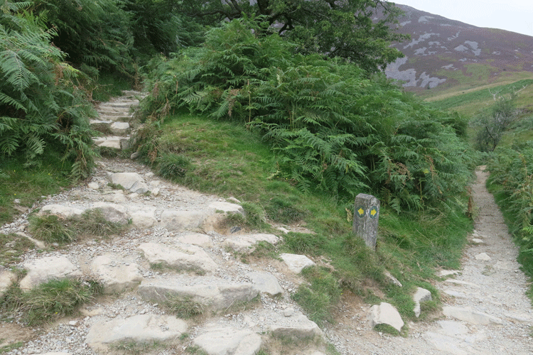
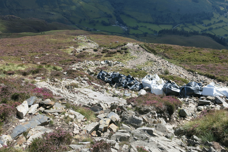
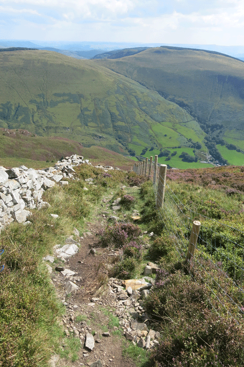
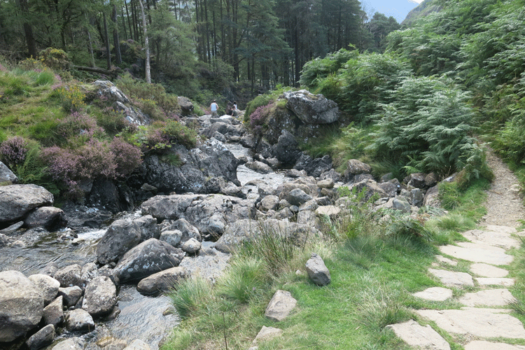
Great deal of work being done to improve the walking surface
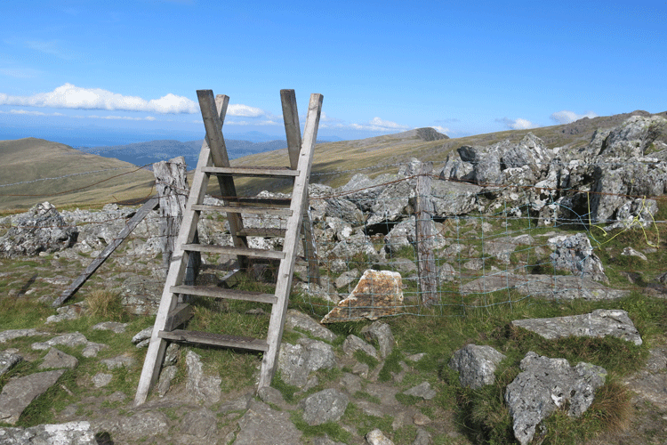
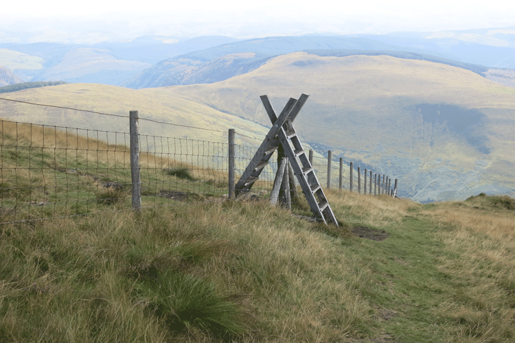
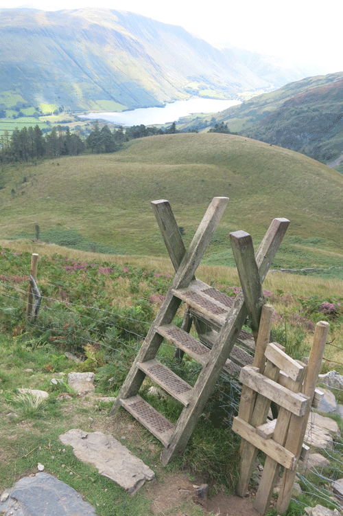
At this point you go over the fence line via the "A" style and head back towards the car park.
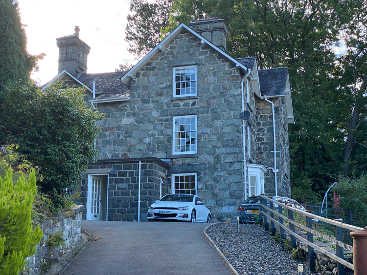
Accommodation Bryn Mair,
|
||||||||||||||||||||||||||||||||